Morgan Peters · 18 October 2026
Expanded Surveillance Networks Track Reptile Habitat Changes Across Southern England Heath Reserves
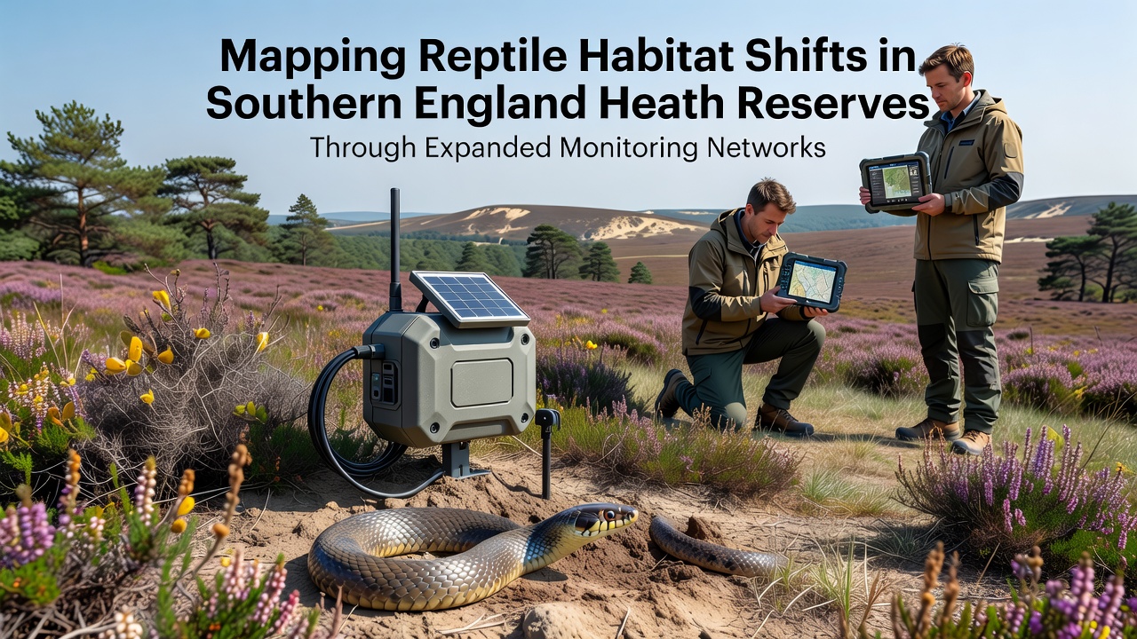
Researchers across Dorset, Hampshire, and Surrey have scaled up monitoring networks to document how reptile populations respond to shifting conditions in heath reserves, and the data collected since 2023 shows measurable movements in species ranges. Sand lizards, adders, and common lizards occupy these fragmented landscapes, while expanded arrays of camera traps, acoustic sensors, and GPS-tagged individuals now feed into centralized databases that reveal seasonal and multi-year patterns.
Building the Monitoring Infrastructure
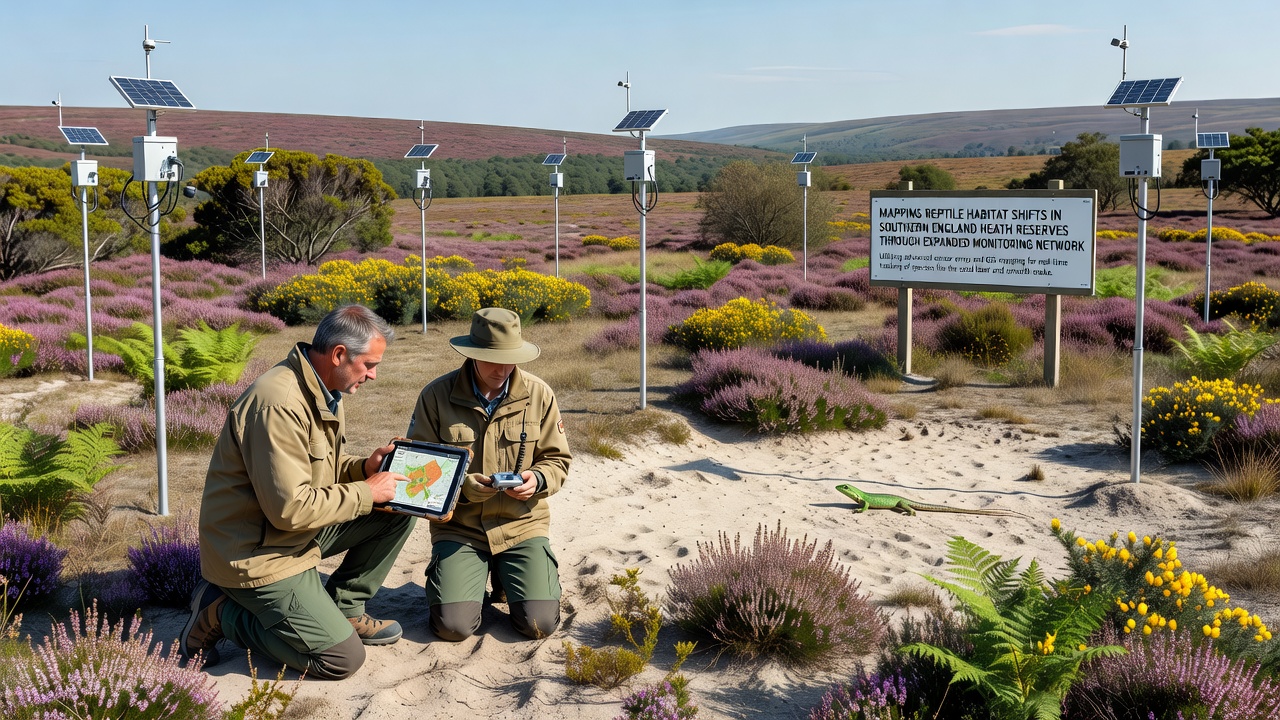
Conservation teams from local wildlife trusts collaborated with university field stations to install over 450 new sensor stations between 2024 and 2025, focusing on core reserves such as the Dorset Heaths and the New Forest margins. Each station combines passive infrared cameras with temperature and humidity loggers that record microclimate variations every fifteen minutes, and the resulting datasets allow analysts to correlate reptile activity peaks with specific vegetation structure and soil moisture levels. Observers note that the network density increased by 60 percent compared with earlier efforts, which in turn improved detection rates for elusive species like the smooth snake.
Data streams from these stations route through a shared platform managed by regional ecology groups, and software algorithms flag anomalies such as unexpected northward movements of sand lizard colonies. In October 2026 the platform will incorporate real-time satellite imagery overlays that highlight vegetation changes following recent management burns, and preliminary tests indicate the combined view will help distinguish climate-driven shifts from those caused by habitat management alone.
Species Responses and Range Adjustments
Telemetry studies attached to more than 200 individual reptiles have documented gradual upslope movements within several reserves, and adult sand lizards now appear in areas previously dominated by taller grasses rather than the short, open swards they traditionally favored. Common lizards show increased use of south-facing slopes during cooler spring periods, while adders maintain core ranges but alter basking schedules in response to warmer autumn temperatures. Researchers tracking these patterns through mark-recapture surveys report that juvenile dispersal distances have lengthened by an average of 18 percent over the past four breeding seasons.
One long-term study site near Wareham recorded a 12 percent rise in smooth snake encounters between 2022 and 2025, and the increase coincided with the creation of new heather regeneration patches that the monitoring network helped identify as priority zones. Figures released by the Joint Nature Conservation Committee indicate similar trends across multiple southern counties, although local densities still vary widely according to grazing pressure and public access levels.
Integrating Citizen Science and Professional Surveys
Volunteer recorders using standardized app-based reporting have contributed more than 8,000 verified sightings since the network expansion began, and these records fill gaps between fixed sensor locations. Professional teams conduct quarterly validation walks that cross-check app data against direct observations, and the combined dataset now supports predictive models that forecast suitable habitat patches five years ahead. The models incorporate soil pH readings and heather height measurements collected at each sensor station, allowing managers to prioritize scrub clearance or grazing rotations before reptile populations decline.
Cross-border data sharing with programs in Wales and the Republic of Ireland has begun, and early comparisons reveal that southern England populations exhibit faster upslope shifts than their western counterparts, likely because of steeper temperature gradients in the more continental climate. A Joint Nature Conservation Committee report outlines the value of such coordinated monitoring for meeting national biodiversity targets.
Future Data Integration and Reserve Management
Plans for 2027 include adding environmental DNA sampling at water bodies within the reserves to detect reptile presence without direct handling, and pilot trials already show reliable detection of adder DNA in pond sediments during the spring breeding window. Managers expect the expanded datasets to guide targeted interventions such as creating artificial hibernacula on north-facing slopes where current monitoring shows underuse. The approach relies on continuous feedback between field observations and modeling outputs rather than one-off surveys.
Conclusion
Expanded monitoring networks have produced the first high-resolution maps of reptile habitat use across southern England heath reserves, and ongoing data collection through October 2026 will test whether observed shifts stabilize or accelerate. The combination of automated sensors, telemetry, and citizen contributions now supplies managers with evidence needed to adjust reserve practices in near real time, while links to wider European datasets, including those from the IUCN Red List assessments, place local findings in a broader conservation context. Continued investment in these networks should maintain the flow of information required to support reptile populations amid changing environmental conditions.